Call us now :07971671028
Alpha Geo DGPS

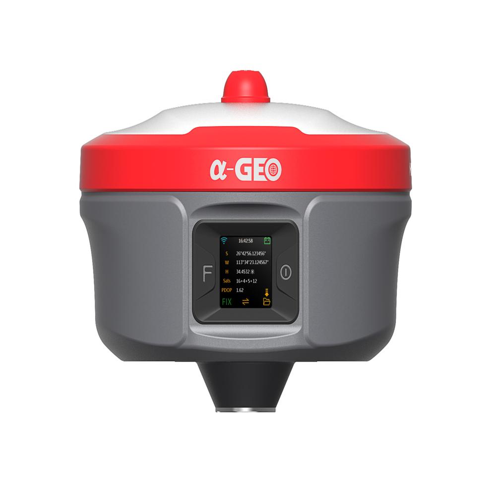
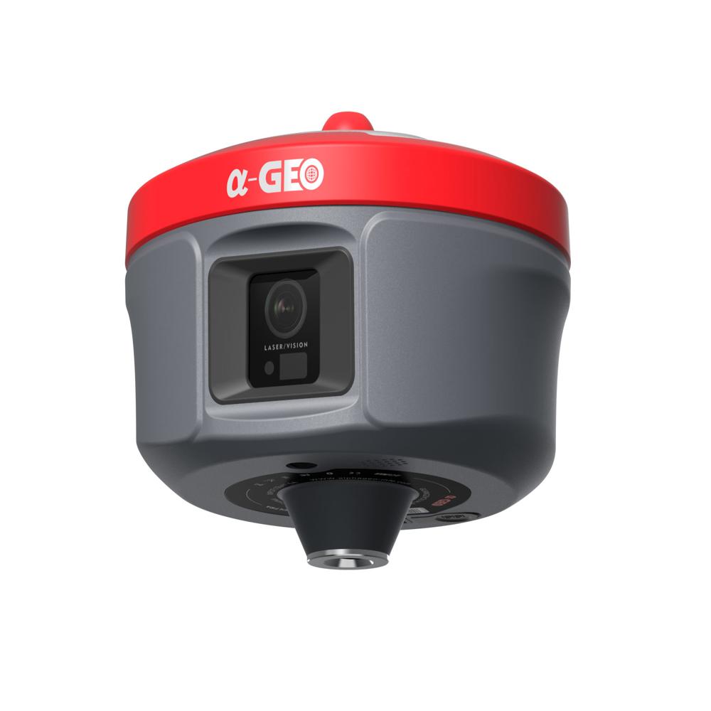

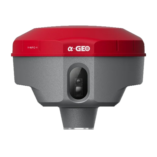
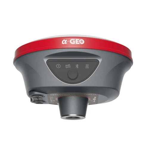
Alpha Geo DGPS Specification
- Product Type
- GNSS ANTENA
- Usage
- Surveying
- Color
- Grey
- Material
- Mild Steel
- Voltage
- 220 Volt (v)
- Application
- Industrial
Alpha Geo DGPS Trade Information
- Minimum Order Quantity
- 1 Piece
- Payment Terms
- Cash Advance (CA), Cash in Advance (CID)
- Supply Ability
- 1 Piece Per Day
- Delivery Time
- 5 Days
- Sample Available
- No
- Sample Policy
- Contact us for information regarding our sample policy
- Packaging Details
- box
- Main Export Market(s)
- Asia
- Main Domestic Market
- All India
About Alpha Geo DGPS
We hope this message finds you well.
We are delighted to introduce our company, M/s Supertech Survey & Services Pvt. Ltd., a trusted name in the field of Land Survey Equipments, Civil Lab Instruments, Geotechnical Products and selected Railway parameters measuring equipments. Our commitment to providing high-quality products is complemented by our exceptional after-sales services, including calibrations and repairs of land survey instruments.
We specialize in a comprehensive range of equipments:
Land Survey Instruments: Total Stations, Auto Levels, DGNSS, Laser Range Finders
Civil Lab Equipment: Soil Testing Machines, Concrete Testers, Asphalt Testing Instruments
Rugged Construction for Industrial Surveys
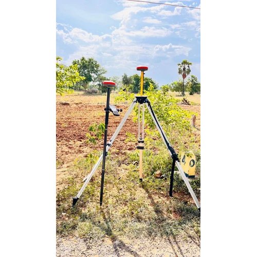
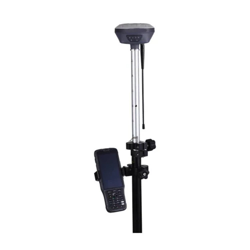
Built with robust mild steel, the Alpha Geo DGPS withstands challenging industrial conditions. Its durable frame ensures longevity and stable operation, making it ideal for extended field use. The device is engineered specifically for professional surveying applications, delivering high precision in diverse environments.
Versatile Applications Across India
Alpha Geo DGPS is distributed, imported, exported, and serviced throughout India, meeting the needs of various sectors. It is widely used by construction firms, surveyors, and mapping professionals who require reliable data for planning and project execution. Its versatility makes it a top choice for a multitude of surveying requirements.
FAQ's of Alpha Geo DGPS:
Q: How does the Alpha Geo DGPS improve surveying accuracy?
A: The Alpha Geo DGPS uses advanced differential GPS technology to deliver high-precision location data. This significantly reduces errors common in traditional GPS systems, resulting in more accurate maps and measurements for surveying projects.Q: What is the recommended process for operating the Alpha Geo DGPS?
A: To operate the Alpha Geo DGPS, connect it to a stable 220V power source, calibrate the device as per the site requirements, and perform a system check. Follow the user manual for specific instructions on setup, data acquisition, and transferring collected data for analysis.Q: When should I consider using the Alpha Geo DGPS for my project?
A: You should use the Alpha Geo DGPS when your surveying tasks demand high accuracy and reliability, such as in land development, construction layout, infrastructure asset mapping, or resource management.Q: Where is the Alpha Geo DGPS primarily available in India?
A: The Alpha Geo DGPS is distributed, exported, imported, and sold by authorized suppliers throughout India. As a manufacturer and service provider, we also offer nationwide support and maintenance services.Q: What are the main benefits of using the Alpha Geo DGPS in industrial surveying?
A: Using the Alpha Geo DGPS ensures precise geospatial data collection, enhances project efficiency, reduces human error, and supports faster decision-making in industrial environments.Q: Is the Alpha Geo DGPS compatible with different surveying software?
A: Yes, the Alpha Geo DGPS is designed to interface with a variety of data processing and surveying software, allowing seamless integration into your existing workflow for analysis and reporting.Tell us about your requirement

Price:
Quantity
Select Unit
- 50
- 100
- 200
- 250
- 500
- 1000+
Additional detail
Mobile number
Email

More Products in Dgps System Category
Land Pak Network Rover
Price 600000 INR / Unit
Minimum Order Quantity : 1 Unit
Color : Multicolour
Usage : Leveling
Operate Method : SemiAutomatic
Classification : Survey Instrument, Precision Leveling Instrument
Alpha Geo Matrix II Gnss Receiver
Price 550000 INR / Unit
Minimum Order Quantity : 1 Unit
Color : Grey & Red
Usage : Surveying
Operate Method : SemiAutomatic
Classification : Survey Instrument, Precision Leveling Instrument
Alpha Geo Laser DGPS
Price 530000 INR / Unit
Minimum Order Quantity : 1 Unit
Color : Grey
Usage : Surveying
Operate Method : SemiAutomatic
Classification : Survey Instrument, Precision Leveling Instrument
Alpha Geo DGPS L100 Pro
Price 610000 INR / Unit
Minimum Order Quantity : 1 Unit
Color : Grey
Usage : Surveying
Operate Method : SemiAutomatic
Classification : Survey Instrument, Precision Leveling Instrument
Our Products

C-48, Basement, Sector-10,Noida - 201301, Uttar Pradesh, India

Mr Sintu Kumar
(Director)
Mobile :07971671028
 Send Inquiry
 Send SMS
 Call Me Free
Developed and Managed by Infocom Network Private Limited.
 English
 Spanish
 French
 German
 Italian
 Chinese (Simplified)
 Japanese
 Korean
 Arabic
 Portuguese